Menu

15 Best Hiking Areas in San Diego

San Diego hiking areas range from compact urban summits to beach approaches and connected Mission Trails routes. This selection helps match the outing to your time, fitness level, and preferred setting.

Useful distinctions include steepness, route length, crowd levels, and whether dogs, mountain bikes, or mixed-ability groups fit the plan. Sunrise and sunset timing also deserve a little advance planning.

Our method for this guide

We chose these places in San Diego based on what visitors say about them, the information available on each and how easy they are to reach.

No business can pay to be included. Those already in the guide may buy extra visibility, and it is always shown.

Top 3Complete listMapHow to pick one

Browse 15 local options

Cowles Mountain Trailhead, San Diego#1

Cowles Mountain Trailhead

4.82,035 reviews
7001 Golfcrest Dr, San Diego, CA 92119, United States
Recommended for
Hikers wanting a compact but demanding urban summit

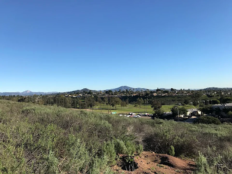
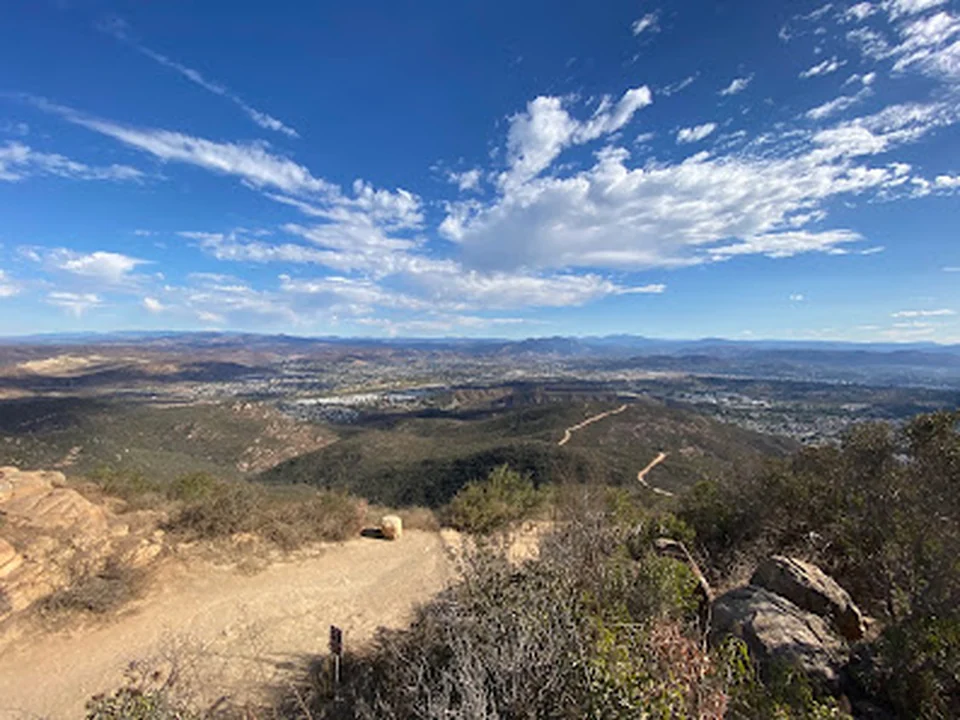
Cowles Mountain Trailhead is a San Diego hiking area and the main gateway to one of the city’s best-known summit hikes. The route climbs through switchbacks, rocky sections, uneven ground, and occasional stair-like scrambles before reaching broad views across the city. It delivers a rewarding workout without requiring a full-day commitment, although the steady incline makes it more demanding than its relatively short distance suggests.

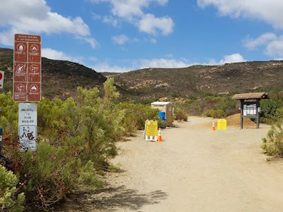
The trailhead is popular and can feel busy, particularly on the main route. Free street parking and parking lots are available, with paid options also present. Dogs are allowed outside. Loose rock and slippery footing on the descent call for deliberate pacing and suitable footwear.
Cowles Mountain, San Diego#2

Cowles Mountain

4.8726 reviews
San Diego, CA 92119, United States
Recommended for
Sunrise or sunset summit hikesHikers looking for a short, strenuous workout

Cowles Mountain is a popular San Diego hiking area built around a steady uphill route and expansive views from the summit. The climb is rocky and increasingly strenuous near the top, making it a satisfying workout rather than a casual stroll. At the summit, the payoff is a broad 360-degree outlook over San Diego.

There is little to no shade along the route, and the exposed terrain can become intense in warm conditions. Good traction and plenty of water are sensible choices, particularly for the uneven descent. Free street parking and parking lots serve the area, and dogs are allowed outside.

Barker Way Trailhead, San Diego#3

Barker Way Trailhead

4.8444 reviews
Barker Way, San Diego, CA 92119, United States
Recommended for
Hikers seeking a steeper route with fewer crowdsDog-friendly summit outings

Barker Way Trailhead offers a less crowded route toward Cowles Mountain, with a steep dirt climb that rewards steady pacing. The trail can be quicker than the main approach while still delivering a serious workout, and clear-day views may reach toward the ocean and Lake Murray. Loose gravel, sand, and slippery sections make traction especially useful on the ascent and descent.

It is a good alternative for hikers who prefer a quieter start and want flexibility in how directly they reach the summit. Free street parking is available, and dogs are allowed outside.

Kwaay Paay Peak East Trailhead, San Diego#4

Kwaay Paay Peak East Trailhead

4.8372 reviews
Father Junipero Serra Trail, San Diego, CA 92119, United States
Recommended for
A brief, high-effort summit outing

Kwaay Paay Peak East Trailhead leads to a short but demanding San Diego hike with striking views from the summit. The route combines unpaved trail, steps, steep stretches, and a greener feel than some of the area’s more exposed climbs, with occasional shade along the way. Its compact length can be deceptive: the final sections require patience, balance, and controlled footing.

The trail works well for hikers who enjoy a clear goal and a strong payoff without committing to a long distance. The descent can be easier on the knees when taken slowly, particularly over uneven ground. A free parking lot serves the trailhead.

Mission Trails Clairemont Mesa Trailhead, San Diego#5

Mission Trails Clairemont Mesa Trailhead

4.8279 reviews
Clairemont Mesa Blvd, San Diego, CA 92124, United States
Recommended for
Exploring multiple Mission Trails routesMixed-ability hiking groups

Mission Trails Clairemont Mesa Trailhead is a San Diego park entrance into a broad network of dirt and rocky routes, ranging from moderate walks to demanding summit hikes. It is a useful starting point for exploring Mission Trails Regional Park, with options for hikers and mountain bikers and views that become more rewarding on the higher sections. Steep inclines, uneven surfaces, and difficult descents mean the area can suit experienced walkers as well as families choosing gentler segments.

The setting includes open natural scenery and wildlife, while free street parking and parking lots provide access. Dogs are allowed, and kid-friendly routes make the trailhead adaptable for mixed groups. Trail conditions and route difficulty vary considerably across the network.

Kwaay Paay Peak, San Diego#6

Kwaay Paay Peak

4.8204 reviews
Mission Trails Regional Park, San Diego, CA 92119, United States

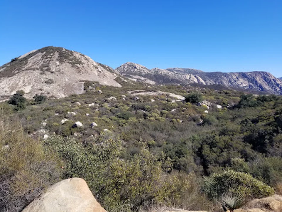
Kwaay Paay Peak is a San Diego hiking area centered on an uphill route through mostly unpaved terrain, with a demanding final stretch of stairs and steep footing. The summit rewards the effort with an elevated view over Mission Trails and the surrounding landscape. The climb is marked difficult, and the narrow trail can include brush, rocks, and limited shade.

Its natural setting feels quieter than the city below, with birds and other wildlife adding interest along the way. Dogs are allowed outside. Good traction and water are useful for both the ascent and the rocky descent.

Lake Murray Trail Head, San Diego#7

Lake Murray Trail Head

4.8204 reviews
5540 Kiowa Dr, La Mesa, CA 91942, United States
Recommended for
Easy walks and runsCycling and birdwatching

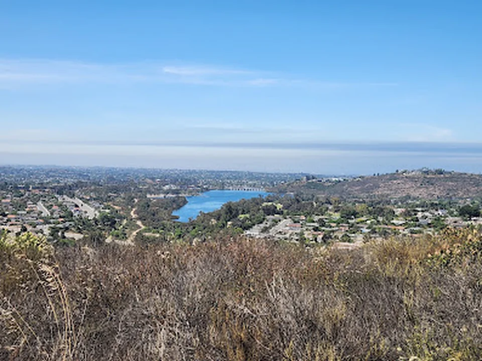
Lake Murray Trail Head is a peaceful San Diego hiking area around a reservoir popular for walking, running, cycling, fishing, birdwatching, and dog walks. The route is generally relaxed and scenic, with water, plant life, and a welcoming mix of recreational users. It functions as an out-and-back path, so visitors can choose their distance rather than completing a full loop.

Free and paid parking lots are available, and dogs are allowed outside. The setting is especially pleasant for an easy outing with family or a dog, though busier periods can bring more activity around the lake.

Big Rock Trailhead, San Diego#8

Big Rock Trailhead

4.8142 reviews
8282 Mesa Rd, Santee, CA 92071, United States
Recommended for
A challenging local workoutHikers looking for panoramic views

Big Rock Trailhead offers a quieter alternative to San Diego’s more familiar mountain routes, beginning with a manageable approach before becoming steeper and rockier. Switchbacks, stairs, varied trail options, and a final sustained incline lead to broad views from the top.

The route works well for hikers seeking a solid workout without a heavily crowded setting. Dogs are allowed outside, and parking near the trailhead can be straightforward. Bring water and allow extra energy for the demanding upper section.

El Capitan County Preserve, San Diego#9

El Capitan County Preserve

4.8114 reviews
13775 Blue Sky Rnch Rd, Lakeside, CA 92040, United States

El Capitan County Preserve is a rugged open-space destination with roughly 11 miles of trails across granite ridgelines, woodland, coastal sage scrub, and mixed chaparral. From the preserve, views extend toward three reservoirs as well as the surrounding mountains and ocean.

The El Capitan Trail provides a demanding out-and-back route, with steep, rocky, sandy, and occasionally slippery sections. The full mountain hike involves substantial elevation gain and can take several hours, making water, snacks, weather awareness, and confident footing essential.

La Jolla Trail, San Diego#10

La Jolla Trail

4.7369 reviews
9883 La Jolla Farms Rd, La Jolla, CA 92037, United States

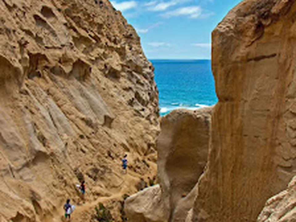
La Jolla Trail is a San Diego hiking area with a narrow, adventurous route leading through canyon-like passages toward dramatic ocean views. Rope-assisted sections, tight spaces, steep drops, and slippery ground give this short trail a more technical character than its length suggests. The setting is memorable, with a mix of hills, beach, coastline, and open Pacific scenery.

It is best approached as an active scramble rather than a casual walk. Sturdy footwear, comfort with heights, and careful movement are important, particularly on the descent. Free street parking is available.

Blacks Beach Trailhead, San Diego#11

Blacks Beach Trailhead

4.7487 reviews
9601 La Jolla Farms Rd, La Jolla, CA 92037, United States
Recommended for
Walkers wanting beach access with a substantial return climb

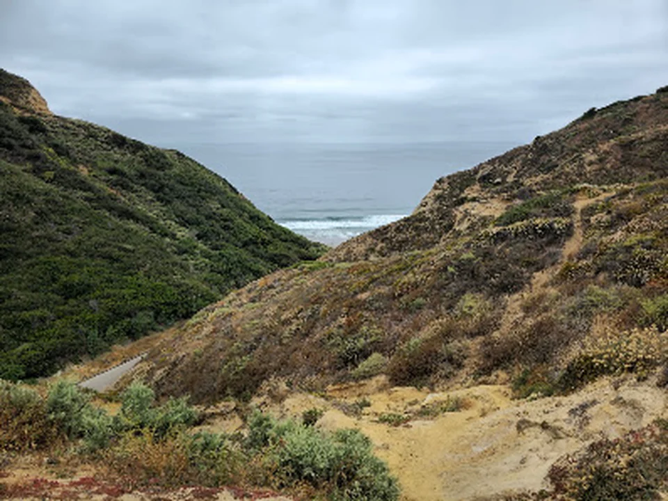
Blacks Beach Trailhead provides a scenic, paved approach from the bluffs down to Blacks Beach, with striking views across the La Jolla coastline. The descent is approachable for many walkers, but the return climb is steep and can feel demanding, making water and sensible footwear worthwhile. At the bottom, the beach offers soft sand, warm water, surf views, and a quieter coastal atmosphere.

Parking can be limited near the trailhead, with street and lot options available. The safer paved route is preferable to loose, sandy paths near the glider port, where footing becomes unstable. The beach and surrounding bluffs are particularly attractive for coastal walks from sunrise through sunset.

Scripps Coastal Meander Trailhead, San Diego#12

Scripps Coastal Meander Trailhead

4.7192 reviews
Scripps Institution of Oceanography 9234-9218, La Jolla Shores Dr, La Jolla, CA 92037, United States
Recommended for
A brief scenic walk by the coast

Scripps Coastal Meander Trailhead is a short, scenic walk with sweeping views across the ocean and La Jolla. Native plants, birds, lizards, benches, and several lookout points add interest to an easy route that can be completed in roughly twenty minutes, while nearby UC San Diego and Birch Aquarium make it easy to extend the outing.

Dogs are allowed outside, and the trail suits visitors who want coastal scenery and photographs rather than a strenuous hike. Parking can be competitive around the area, so arriving with some flexibility is worthwhile.

PQ Falls Trail, San Diego#13

PQ Falls Trail

4.7143 reviews
7101-7113 Park Village Rd, San Diego, CA 92129, United States
Recommended for
A quick waterfall walkFamily-friendly biking and short outings

PQ Falls Trail is a short, approachable route to a small waterfall, beginning along a broad access road before continuing into the canyon. The falls are about 1.15 miles from the start, and the surrounding trail network allows visitors to extend the walk farther west.

It suits a quick outing, family bike ride, or easy hike when you want time near the water without committing to a full-day route. Some sections around the falls are uneven or poorly maintained, and crossings may involve water, so footwear and route awareness matter.

Sweetwater River Trail, San Diego#14

Sweetwater River Trail

4.6433 reviews
12101-, 12153 Campo Rd, El Cajon, CA 92019, United States
Recommended for
Flexible-distance hikesNature walks with changing scenery

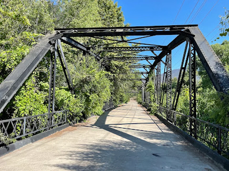
Sweetwater River Trail is a San Diego hiking area with an out-and-back route that can be tailored to an easy walk or a longer exploration. The landscape shifts between dry, open terrain and greener stretches with a hidden-forest feel, while a bridge and seasonal river views add variety. Smaller paths branch from the main route, creating room for extended outings.

Shade is limited in many sections, and sandy or dusty ground can cover footwear quickly. Water, sun protection, and attention to high grass are useful, particularly where wildlife may be present. Free and paid parking lots are available, and dogs are allowed outside.

Los Penasquitos Canyon Trailhead, San Diego#15

Los Penasquitos Canyon Trailhead

4.6264 reviews
4300 Sorrento Valley Blvd, San Diego, CA 92121, United States
Recommended for
Canyon walks with a waterfall objective

Los Penasquitos Canyon Trailhead follows a varied canyon landscape of compacted clay, creekside areas, river rocks, soft sand, grasses, and abundant birdlife. One of its clearest rewards is the waterfall, reached in less than three miles on a route that can be shaped into a shorter out-and-back or extended into a longer walk through the canyon.

The trail offers enough variety for casual walkers, trail runners, friends, and hikers training for longer backpacking trips. Expect sunny stretches, moderate inclines, and changing surfaces; water, sun protection, and attention around vegetation and wildlife are sensible parts of the plan.

How the options stack up

#BusinessRatingReviewsRecommended for
#1Cowles Mountain Trailhead 4.82,035Hikers wanting a compact but demanding urban summit
#2Cowles Mountain 4.8726Sunrise or sunset summit hikes
#3Barker Way Trailhead 4.8444Hikers seeking a steeper route with fewer crowds
#4Kwaay Paay Peak East Trailhead 4.8372A brief, high-effort summit outing
#5Mission Trails Clairemont Mesa Trailhead 4.8279Exploring multiple Mission Trails routes
#6Kwaay Paay Peak 4.8204—
#7Lake Murray Trail Head 4.8204Easy walks and runs
#8Big Rock Trailhead 4.8142A challenging local workout
#9El Capitan County Preserve 4.8114—
#10La Jolla Trail 4.7369—
#11Blacks Beach Trailhead 4.7487Walkers wanting beach access with a substantial return climb
#12Scripps Coastal Meander Trailhead 4.7192A brief scenic walk by the coast
#13PQ Falls Trail 4.7143A quick waterfall walk
#14Sweetwater River Trail 4.6433Flexible-distance hikes
#15Los Penasquitos Canyon Trailhead 4.6264Canyon walks with a waterfall objective

Do you run a business?

Add or manage my business

Map of hiking areas across San Diego

The selection covers urban summit trailheads, Mission Trails access points, and coastal routes rather than one concentrated hiking district. Cowles Mountain, Kwaay Paay Peak, and Barker Way suit summit-focused outings, while Blacks Beach adds a coastal setting. Use the map to compare drive time, trailhead access, and the amount of climbing after arrival. A short route can still require substantial effort, especially on steep summit approaches or return climbs.

What each one offers

  • Urban summit hikesCompact, demanding outings for hikers who want a strong climb without a long route.
  • Sunrise and sunset walksSummit routes suited to early or late outings, with timing worth planning ahead.
  • Dog-friendly climbsOptions for walkers looking to include a dog on a steeper summit outing.
  • Mission Trails route varietyConnected trail choices for exploring more than one route in the same park area.
  • Beach access hikesCoastal walks that pair beach access with a substantial climb on the return.
  • Group-friendly outingsRoutes that can work for mixed-ability groups when pace and elevation are discussed first.

Choosing hiking areas in San Diego

  1. Match effort to the groupCheck elevation gain and the steepest section against the slowest hiker's comfortable pace.
  2. Clarify dog accessConfirm current dog rules and whether the surface and heat exposure suit your dog.
  3. Plan around the lightFor sunrise or sunset, calculate parking, walking time, and the return before darkness.
  4. Separate route length from difficultyA short trail can be strenuous; compare climbing and terrain, not mileage alone.
  5. Check activity overlapAsk whether mountain bikes share the route if a quieter walk is important.

Frequent questions

Which San Diego hiking areas suit a short but strenuous workout?

Cowles Mountain and Kwaay Paay Peak are strong matches for hikers who want a brief outing with substantial climbing. Barker Way can suit people seeking a steeper route with fewer crowds, depending on timing and conditions.

Are there hiking areas for mixed-ability groups?

Mission Trails offers multiple routes, making it easier for a group to choose different distances or difficulty levels nearby. Agree on a meeting point and turnaround plan before splitting into separate paces.

What should I consider for a beach hike?

A route such as Blacks Beach combines coastal access with a demanding return climb. Carry water for the way back, allow extra time for the ascent, and check the approach before bringing anyone who may struggle with steep terrain.

What should I confirm before visiting a trailhead?

Check current access, parking conditions, trail restrictions, heat exposure, and dog or bike rules. If you are planning sunrise or sunset, verify that your route and return timing remain practical in low light.

More to compare